Latest News
Fire season update December 2021
Saturday, 11th December 2021

Fire Season
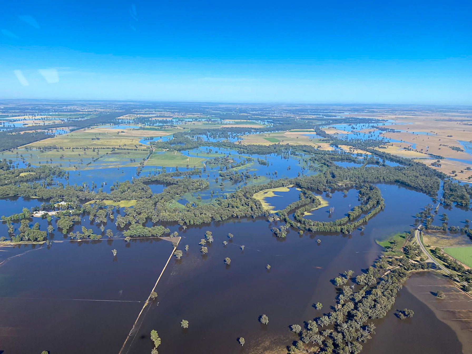
Bush fire season has commenced for all parts of NSW, although it has been a wet start. Significant rainfall over recent weeks has seen many NSW RFS crews across the state assisting communities and the NSW SES with flooding.
Despite this, it is important for communities to stay vigilant and recognise the risk of fire as the weather heats up. Large areas of NSW containing cropping and grass fuels present an above normal fire potential due to good growing conditions. During summer the focus is especially on areas west of the divide and Cooma-Monaro, as the good recent growth dries out. Delayed harvests could also increase the risk of high crop loads coinciding with the peak of summer. The likelihood of wetter than average conditions for the coast and ranges may see below normal fire potential in forested areas recovering from the 2019/20 fires. Forest fuels take longer to re-accumulate than grassland areas. Small scale variations can occur depending on temperature, rainfall, storm activity and vegetation type so periods of escalated fire danger may still occur. As a result, fuel loads and fire danger continues to be monitored closely. If fires do occur in dry grass with high fuel loads they will be high intensity and fast moving.
If opportunities to undertake any burning do present themselves, Fire Safety Permits are required during the Bush Fire Danger Period. Other types of permits you may require vary from area to area, such as in Fire and Rescue NSW jurisdiction, or Local Government Clean Air regulations. Your local Fire Control Centre can assist with requirements specific to your area: http://www.rfs.nsw.gov.au/about-us/fcc
If you’re planning to burn on your property and have the necessary approvals in place, don’t forget to notify your neighbours and local fire agency at least 24hrs ahead. You can notify the RFS of your activity online at http://www.rfs.nsw.gov.au/notify
Read more on grass fire risk here: http://www.rfs.nsw.gov.au/plan-and-prepare/farm-fire-safety/am-i-at-risk-from-grass-fires
For more information refer to the Australian Seasonal Bushfire Outlook: Summer 2021 https://www.afac.com.au/auxiliary/publications/newsletter/article/bushfire-seasonal-outlook-summer-2021-australia-s-national-picture-of-fire-potential
Outlook
According to the Bureau of Meteorology, New South Wales had its wettest November since national records began in 1900. Daytime temperatures across the state were also at least 2ºC below average except for the north-east of NSW.
La Nina has become established and is likely to be maintained until late summer bringing wetter than normal conditions. The summer climate outlook from the Bureau of Meteorology, indicates that rainfall is likely to continue to be above average for eastern Australia between December to February. Other climate drivers are contributing to the wetter conditions including a negative Indian Ocean Dipole and positive Southern Annual Mode (SAM).
Confused about what all the climate drivers mean? Visit Climate Kelpie for a cute take on climate tools for Australian farmers. While you are there, check out the regional climate guides produced by the Bureau of Meteorology, CSIRO and FarmLink. See: https://www.climatekelpie.com.au/index.php/climatedogs/
For more information on the summer weather outlook across NSW visit https://www.youtube.com/watch?v=klUnfWUX6cI&t=254s
For seasonal streamflow forecasts visit http://www.bom.gov.au/water/ssf/